


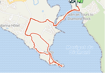

11.2 km | 19.4 km-effort

User GUIDE


FREE GPS app for hiking
 SityTrail
IGN / Geographical institutes
SityTrail World
The world is yours!
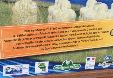
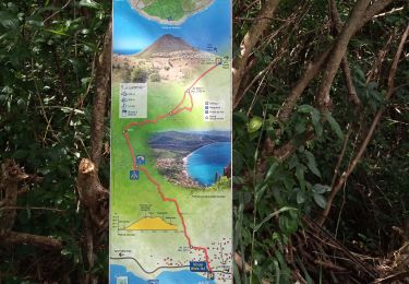
Trail Walking of 4.9 km to be discovered at Martinique, Unknown, Le Diamant. This trail is proposed by GabyG.
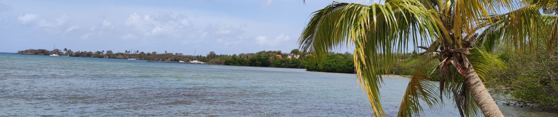
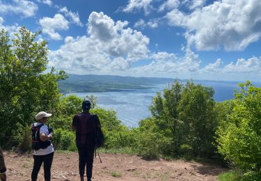
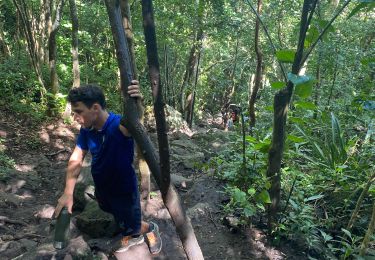
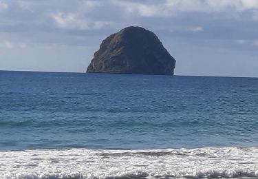
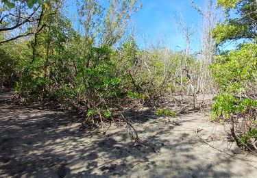
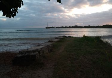
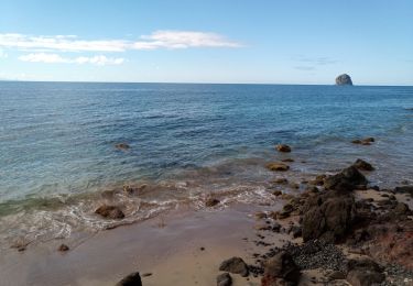
Belle randonnée sur le Diamant, depuis O'Mullane bas en passant par la mangrove, traversé de la rivière Fond Placide, le petit village de la chérie et les bordures côtières ! "Ex-Novotel"
plusieurs possibilités de bain s'offrent à nous quand la mer est belle.


Walking
Walking
Walking
Walking
Walking
Walking
Walking
Walking
Walking